
A node is only as good as knowing exactly where it is.
Perch takes a structure from a bare 3D survey to a live, commissioned site: it plans where every node should go, flies them to their perches, and hands Vigil a site where every reading is tied to the part of the structure it measures.
From a bare structure to a site that reports on itself.
Scan it in 3D
A drone flies the structure and builds a point cloud of every span, wall and pipe.
Clean the cloud
Noise removed, surfaces smoothed, the structure ready to work on.
Name the parts
Girders, bearings, zones and equipment marked on the model — they become assets in Atlas.
Tie it to the world
Control points put the model in real coordinates, so every position means something.
Choose every perch
Where each node goes, what it measures, and the order the drones will fly them.
Place the nodes
Each drone carries one node to its planned spot and leaves it on its perch.
Bring it online
The node reports from its perch; crews on the ground scan, photograph and confirm.
Live in Vigil
Assets, canvases and reports ready on day one — and the survey kept for the next visit.
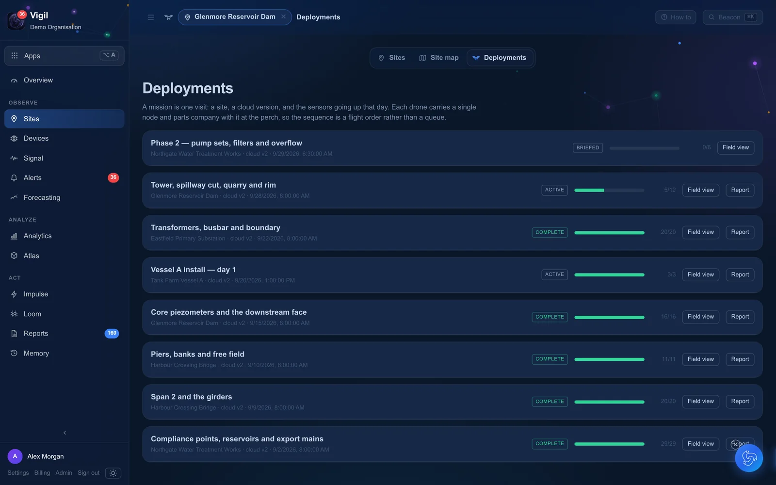
One visit, one mission, one flight order.
A mission is a site, a survey and the nodes going up that day. Because each drone carries a single node, the plan is a flight order — and the platform tracks every placement from planned to installed, with how close it landed to its mark.
- Weather for the mission day, from the public record for the site
- Placement accuracy measured against the plan
- Re-plans when a perch isn't reachable, recorded with the reason
Crews fit the rest — with a phone.
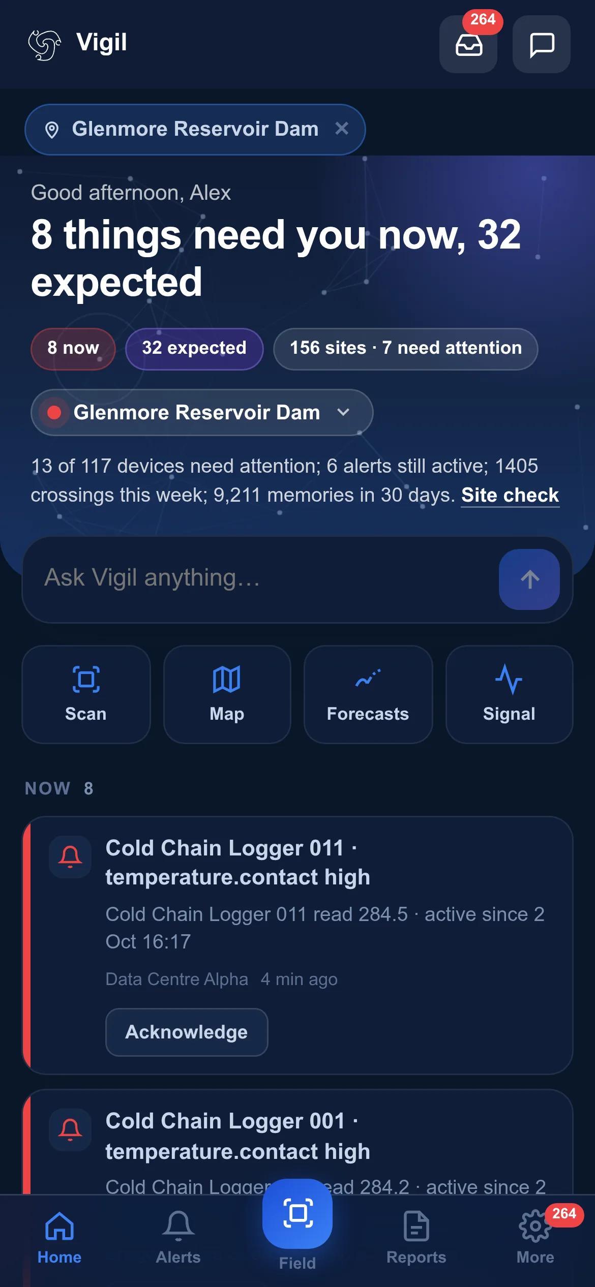
In a plant room or a cold store, a person with a ladder is quicker. Every node carries a QR label: scan it, take a photo where it's fitted, and it appears on the site's map with its position, its history and the person who installed it.
Scan
The phone claims the node for the site and opens its page.
Place
A photo and a note record exactly where and how it was fitted.
Confirm
The first readings arrive; the platform starts learning what normal looks like.
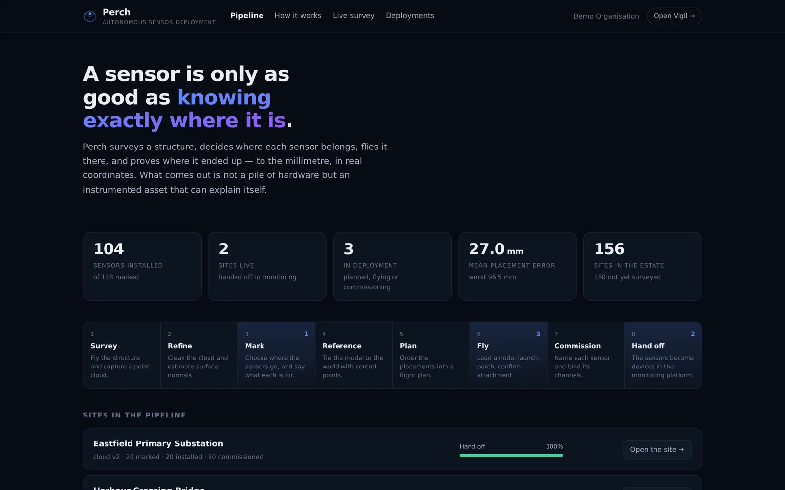
Every site, one stage at a time.
The Perch pipeline shows every site and where it stands — surveyed, planned, flying, handed off — so an estate moves from manual installations to surveyed, drone-placed nodes one site at a time, with nothing lost along the way.
Let's make sense of your site.
Tell us about a site — a plant, a dam, a campus, a cold store. We'll show you the platform on demo data like yours and plan a pilot with nodes on your equipment.